Es Caló – Es Copinar (Maryland/Riu)
Bicycle
10 min
Walk
25 min
Distance
1,4 km
Slope
29 m
Difficulty
Medium Level
Links
Points of interest
Panoramic View
beach
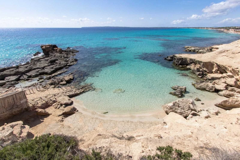
On the east part of the island, before the ascent to la Mola, the two opposite coasts are very close. Route 24, with a slight gradient, joins Tramontana coast with the south coast. Setting off from the village of Es Caló de San Agustí, with its characteristic fishing quay, we take a route that follows the edge of a pine and juniper woodland and which ends in Es Copinar, one of the last beaches of Migjorn. It is a quiet beach with crystalline waters, white sands and small rocky areas. Once past the hotel resorts, we find family-run premises serving traditional food, and one of the most emblematic and authentic beach refreshment stands on the island- just metres from the sea and offering spectacular views. A five-minute walk further along towards La Mola we discover Es Caló des Mort, a small bay separated from the Es Copinar area by a rocky and craggy section. On the first part of this journey we can take Route 25, the path that was historically used to reach Pilar de la Mola before the current road existed: The Sa Pujada Way.
Pictures


